Riverside Footpath
Introduction
The photograph on this page of Riverside Footpath by jeff collins as part of the Geograph project.
The Geograph project started in 2005 with the aim of publishing, organising and preserving representative images for every square kilometre of Great Britain, Ireland and the Isle of Man.

There are currently over 7.5m images from over 14,400 individuals and you can help contribute to the project by visiting https://www.geograph.org.uk
Riverside Footpath
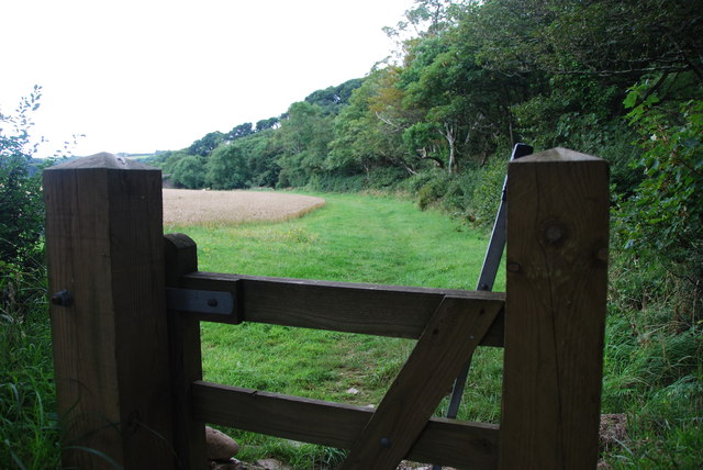
Image: © jeff collins Taken: 19 Aug 2013
The Footpath runs along the Avon from Newmill Bridge crossing the B3196 at New Bridge, it follows the river a little more finally finishing on a minor road near Lower Sturtlebury Wood.
Images are licensed for reuse under creativecommons.org/licenses/by-sa/2.0
Image Location
Latitude
50.315383
Longitude
-3.80002