The Health Centre
Introduction
The photograph on this page of The Health Centre by Ian Capper as part of the Geograph project.
The Geograph project started in 2005 with the aim of publishing, organising and preserving representative images for every square kilometre of Great Britain, Ireland and the Isle of Man.

There are currently over 7.5m images from over 14,400 individuals and you can help contribute to the project by visiting https://www.geograph.org.uk
The Health Centre
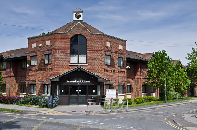
Image: © Ian Capper Taken: 26 May 2013
Situated at the junction of Kings Road with Victoria Road and housing the Birchwwod Medical Practice, which has been operating form here since 2005.
Images are licensed for reuse under creativecommons.org/licenses/by-sa/2.0
Image Location
Latitude
51.172684
Longitude
-0.166134