A483 passes the northern turning for Llanddewi Ystradenni, Powys
Introduction
The photograph on this page of A483 passes the northern turning for Llanddewi Ystradenni, Powys by Jaggery as part of the Geograph project.
The Geograph project started in 2005 with the aim of publishing, organising and preserving representative images for every square kilometre of Great Britain, Ireland and the Isle of Man.

There are currently over 7.5m images from over 14,400 individuals and you can help contribute to the project by visiting https://www.geograph.org.uk
A483 passes the northern turning for Llanddewi Ystradenni, Powys
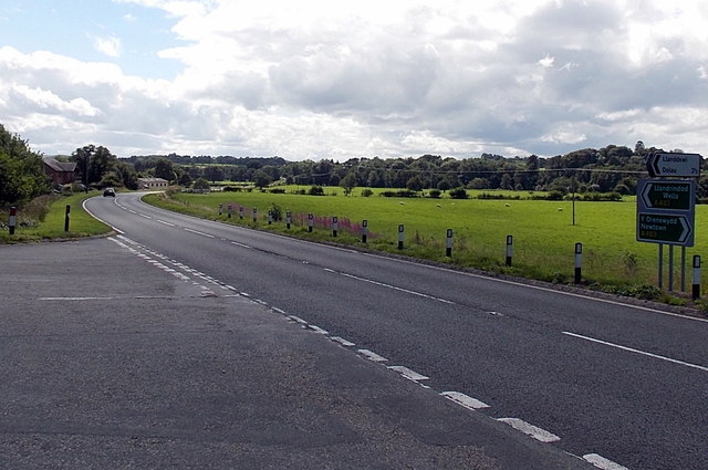
Image: © Jaggery Taken: 18 Aug 2013
The main residential area of Llanddewi is on the east side of the A483. The left turn is for the road through the village. The road rejoins the A483 400 metres to the south. Signs alongside the A483 point south towards Llandrindod Wells, north for Newtown. The sign pointing towards Llanddewi also shows Dolau 2½ (miles).
Images are licensed for reuse under creativecommons.org/licenses/by-sa/2.0
Image Location
Latitude
52.311118
Longitude
-3.309837