The llyn of Maesllyn?
Introduction
The photograph on this page of The llyn of Maesllyn? by John Lord as part of the Geograph project.
The Geograph project started in 2005 with the aim of publishing, organising and preserving representative images for every square kilometre of Great Britain, Ireland and the Isle of Man.

There are currently over 7.5m images from over 14,400 individuals and you can help contribute to the project by visiting https://www.geograph.org.uk
The llyn of Maesllyn?
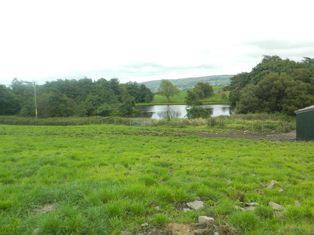
Image: © John Lord Taken: 17 Aug 2013
Lake not shown on OS map, but clearly visible on Bing Maps Bird's Eye.
Images are licensed for reuse under creativecommons.org/licenses/by-sa/2.0
Image Location
Latitude
52.320675
Longitude
-4.073691