Housing - Marton Burn Road (2 of 2)
Introduction
The photograph on this page of Housing - Marton Burn Road (2 of 2) by John M as part of the Geograph project.
The Geograph project started in 2005 with the aim of publishing, organising and preserving representative images for every square kilometre of Great Britain, Ireland and the Isle of Man.

There are currently over 7.5m images from over 14,400 individuals and you can help contribute to the project by visiting https://www.geograph.org.uk
Housing - Marton Burn Road (2 of 2)
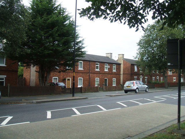
Image: © John M Taken: 19 Aug 2013
An early example of post WW1 housing.
Images are licensed for reuse under creativecommons.org/licenses/by-sa/2.0
Image Location
Latitude
54.556277
Longitude
-1.223455