Finchley Road, Temple Fortune
Introduction
The photograph on this page of Finchley Road, Temple Fortune by David Howard as part of the Geograph project.
The Geograph project started in 2005 with the aim of publishing, organising and preserving representative images for every square kilometre of Great Britain, Ireland and the Isle of Man.

There are currently over 7.5m images from over 14,400 individuals and you can help contribute to the project by visiting https://www.geograph.org.uk
Finchley Road, Temple Fortune
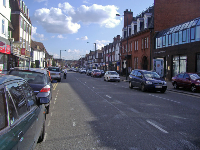
Image: © David Howard Taken: 27 Mar 2008
The police station is on the right. The building next to it was a cigar distributors and rebuilt with an extra floor on top you can see here. Otherwise the buildings are as they were when built. Temple Fortune was originally a farm just north of the left of this view, and the town began with a Victorian parade of shops just behind on the right, now replaced, and a Victorian terrace of houses next to it in Saffron Close, of which a few remain today. I also worked in the shop half way down on the right from 1992-7.
Images are licensed for reuse under creativecommons.org/licenses/by-sa/2.0
Image Location
Latitude
51.58072
Longitude
-0.198813