The Lang Memorial
Introduction
The photograph on this page of The Lang Memorial by Lairich Rig as part of the Geograph project.
The Geograph project started in 2005 with the aim of publishing, organising and preserving representative images for every square kilometre of Great Britain, Ireland and the Isle of Man.

There are currently over 7.5m images from over 14,400 individuals and you can help contribute to the project by visiting https://www.geograph.org.uk
The Lang Memorial
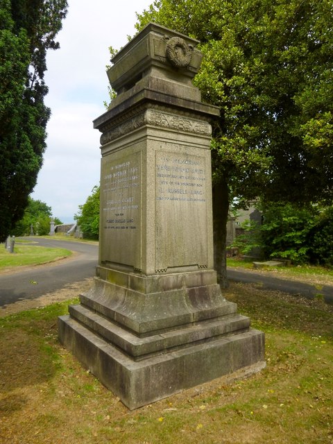
Image: © Lairich Rig Taken: 22 Jul 2013
This is just one of several memorials in the Image for members of the Lang family (see the comments at that link). The one shown in the present photograph is located near the south-eastern corner of the cemetery, and is quite prominent from the nearby road. It is located in the older half of the cemetery, but dates from the second half of the twentieth century. The path that enters at the right-hand side of the image runs along the eastern boundary wall of the cemetery.
Images are licensed for reuse under creativecommons.org/licenses/by-sa/2.0
Image Location
Latitude
55.830138
Longitude
-4.48961