A bridge there was - Edgerley, Shropshire
Introduction
The photograph on this page of A bridge there was - Edgerley, Shropshire by Martin Richard Phelan as part of the Geograph project.
The Geograph project started in 2005 with the aim of publishing, organising and preserving representative images for every square kilometre of Great Britain, Ireland and the Isle of Man.

There are currently over 7.5m images from over 14,400 individuals and you can help contribute to the project by visiting https://www.geograph.org.uk
A bridge there was - Edgerley, Shropshire
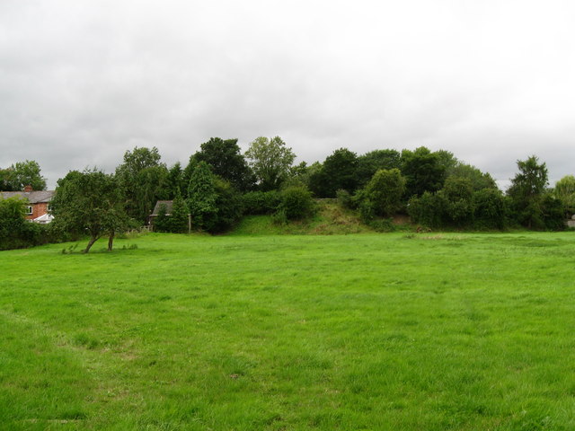
Image: © Martin Richard Phelan Taken: 17 Aug 2013
The embankment ahead in this picture was the filled-in road bridgehole over the Shropshire & Montgomeryshire Railway at Edgerley. This line was intended to make a link between The Potteries at Stoke on Trent and Dublin, hence it's nickname the Potts, but this plan never came to fruition. Somewhat confusingly, there are two places named Edgerley on the OS map here, but whether they are separate or the same place named twice is not clear. Time taken 3.02 pm BST (British Summer Time). Image Image
Images are licensed for reuse under creativecommons.org/licenses/by-sa/2.0
Image Location
Latitude
52.772176
Longitude
-2.981367