Pleahillock
Introduction
The photograph on this page of Pleahillock by Richard Webb as part of the Geograph project.
The Geograph project started in 2005 with the aim of publishing, organising and preserving representative images for every square kilometre of Great Britain, Ireland and the Isle of Man.

There are currently over 7.5m images from over 14,400 individuals and you can help contribute to the project by visiting https://www.geograph.org.uk
Pleahillock
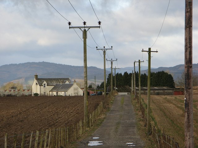
Image: © Richard Webb Taken: 10 Mar 2007
A well connected farm just outside the woodlands of Meikleour. The hills in the background show the line of the Highland Boundary Fault.
Images are licensed for reuse under creativecommons.org/licenses/by-sa/2.0
Image Location
Latitude
56.555116
Longitude
-3.362585