Perth city centre from the air
Introduction
The photograph on this page of Perth city centre from the air by Mike Pennington as part of the Geograph project.
The Geograph project started in 2005 with the aim of publishing, organising and preserving representative images for every square kilometre of Great Britain, Ireland and the Isle of Man.

There are currently over 7.5m images from over 14,400 individuals and you can help contribute to the project by visiting https://www.geograph.org.uk
Perth city centre from the air
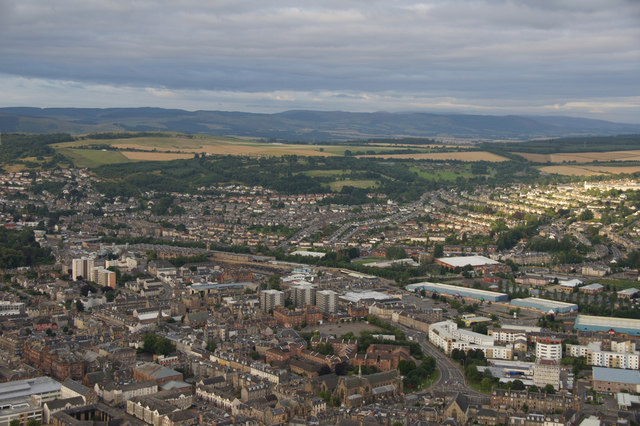
Image: © Mike Pennington Taken: 14 Aug 2013
Taken from a hot air balloon. The railway station is just left of centre and the junction of Atholl Street, Barrack Street and Caledonian Road is lower right.
Images are licensed for reuse under creativecommons.org/licenses/by-sa/2.0
Image Location
Latitude
56.395441
Longitude
-3.435288