Lane to the football ground in Stanleytown
Introduction
The photograph on this page of Lane to the football ground in Stanleytown by Jaggery as part of the Geograph project.
The Geograph project started in 2005 with the aim of publishing, organising and preserving representative images for every square kilometre of Great Britain, Ireland and the Isle of Man.

There are currently over 7.5m images from over 14,400 individuals and you can help contribute to the project by visiting https://www.geograph.org.uk
Lane to the football ground in Stanleytown
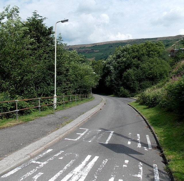
Image: © Jaggery Taken: 8 Aug 2013
The unnamed lane descends from Lower Terrace http://www.geograph.org.uk/photo/3605655 towards the football ground on the east bank of a river, the Rhondda Fach.
Images are licensed for reuse under creativecommons.org/licenses/by-sa/2.0
Image Location
Latitude
51.644997
Longitude
-3.429439