Chesterfield - Joplins on Low Pavement
Introduction
The photograph on this page of Chesterfield - Joplins on Low Pavement by Dave Bevis as part of the Geograph project.
The Geograph project started in 2005 with the aim of publishing, organising and preserving representative images for every square kilometre of Great Britain, Ireland and the Isle of Man.

There are currently over 7.5m images from over 14,400 individuals and you can help contribute to the project by visiting https://www.geograph.org.uk
Chesterfield - Joplins on Low Pavement
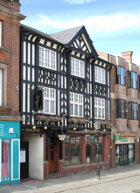
Image: © Dave Bevis Taken: 26 May 2013
The former Stones Brewery Crown & Cushion pub re-opened in 1981 as Joplins wine bar.
Images are licensed for reuse under creativecommons.org/licenses/by-sa/2.0
Image Location
Latitude
53.23512
Longitude
-1.429896