Council Cottages, Wepham
Introduction
The photograph on this page of Council Cottages, Wepham by Simon Carey as part of the Geograph project.
The Geograph project started in 2005 with the aim of publishing, organising and preserving representative images for every square kilometre of Great Britain, Ireland and the Isle of Man.

There are currently over 7.5m images from over 14,400 individuals and you can help contribute to the project by visiting https://www.geograph.org.uk
Council Cottages, Wepham
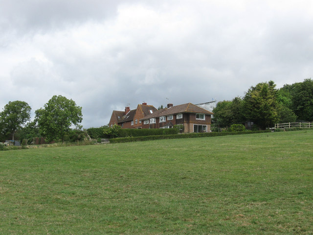
Image: © Simon Carey Taken: 14 Aug 2013
Two sets of three cottages built in different styles that lie at a right angle to the lane. My guess is the set on the left were built before the Second World War whilst that on the right were built after.
Images are licensed for reuse under creativecommons.org/licenses/by-sa/2.0
Image Location
Latitude
50.866269
Longitude
-0.520943