New Street, Burry Port
Introduction
The photograph on this page of New Street, Burry Port by Jaggery as part of the Geograph project.
The Geograph project started in 2005 with the aim of publishing, organising and preserving representative images for every square kilometre of Great Britain, Ireland and the Isle of Man.

There are currently over 7.5m images from over 14,400 individuals and you can help contribute to the project by visiting https://www.geograph.org.uk
New Street, Burry Port
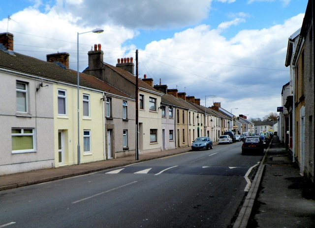
Image: © Jaggery Taken: 15 Apr 2012
A view east from roughly half way along the 300 metre long street, between Station Road behind the camera and Church Road ahead.
Images are licensed for reuse under creativecommons.org/licenses/by-sa/2.0
Image Location


Leaflet Map data © OpenStreetMap
Latitude
51.684821
Longitude
-4.24125