View east from Church Road level crossing, Burry Port
Introduction
The photograph on this page of View east from Church Road level crossing, Burry Port by Jaggery as part of the Geograph project.
The Geograph project started in 2005 with the aim of publishing, organising and preserving representative images for every square kilometre of Great Britain, Ireland and the Isle of Man.

There are currently over 7.5m images from over 14,400 individuals and you can help contribute to the project by visiting https://www.geograph.org.uk
View east from Church Road level crossing, Burry Port
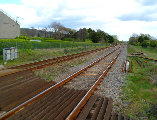
Image: © Jaggery Taken: 15 Apr 2012
Looking east along the West Wales Line from this http://www.geograph.org.uk/photo/3604460 level crossing.
Images are licensed for reuse under creativecommons.org/licenses/by-sa/2.0
Image Location
Latitude
51.684801
Longitude
-4.232858