Meadow Rise, Crossgates
Introduction
The photograph on this page of Meadow Rise, Crossgates by Jaggery as part of the Geograph project.
The Geograph project started in 2005 with the aim of publishing, organising and preserving representative images for every square kilometre of Great Britain, Ireland and the Isle of Man.

There are currently over 7.5m images from over 14,400 individuals and you can help contribute to the project by visiting https://www.geograph.org.uk
Meadow Rise, Crossgates
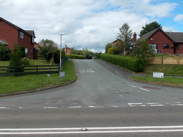
Image: © Jaggery Taken: 11 Aug 2013
Meadow Rise is an area of houses on the north side of the A44 in Crossgates, a small village NE of Llandrindod Wells. The street name signs show that Meadow Rise leads to Greenway Close and Village Close.
Images are licensed for reuse under creativecommons.org/licenses/by-sa/2.0
Image Location
Latitude
52.275161
Longitude
-3.341315