View across the Browney valley
Introduction
The photograph on this page of View across the Browney valley by Robert Graham as part of the Geograph project.
The Geograph project started in 2005 with the aim of publishing, organising and preserving representative images for every square kilometre of Great Britain, Ireland and the Isle of Man.

There are currently over 7.5m images from over 14,400 individuals and you can help contribute to the project by visiting https://www.geograph.org.uk
View across the Browney valley
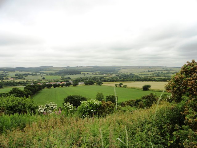
Image: © Robert Graham Taken: 10 Jul 2013
From on top of the escarpment east of Hill Top, Langley Park. The houses in the middle distance are at Kaysburn, the easternmost part of Langley Park.
Images are licensed for reuse under creativecommons.org/licenses/by-sa/2.0
Image Location
Latitude
54.797782
Longitude
-1.658711