Oat field at Lyne Down
Introduction
The photograph on this page of Oat field at Lyne Down by Julian P Guffogg as part of the Geograph project.
The Geograph project started in 2005 with the aim of publishing, organising and preserving representative images for every square kilometre of Great Britain, Ireland and the Isle of Man.

There are currently over 7.5m images from over 14,400 individuals and you can help contribute to the project by visiting https://www.geograph.org.uk
Oat field at Lyne Down
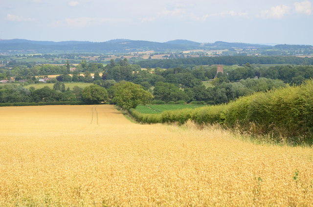
Image: © Julian P Guffogg Taken: 8 Aug 2013
The Three Choirs way follows the hedgerow. Much Marcle church can be seen in the middle distance.
Images are licensed for reuse under creativecommons.org/licenses/by-sa/2.0
Image Location
Latitude
51.990373
Longitude
-2.512718