Lubberhedges Lane, Stebbing
Introduction
The photograph on this page of Lubberhedges Lane, Stebbing by Roger Jones as part of the Geograph project.
The Geograph project started in 2005 with the aim of publishing, organising and preserving representative images for every square kilometre of Great Britain, Ireland and the Isle of Man.

There are currently over 7.5m images from over 14,400 individuals and you can help contribute to the project by visiting https://www.geograph.org.uk
Lubberhedges Lane, Stebbing
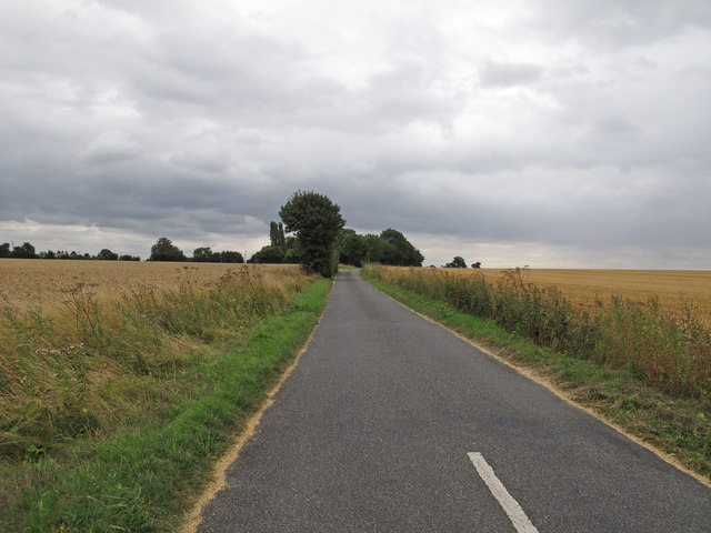
Image: © Roger Jones Taken: 15 Aug 2013
This rural road runs through arable land (mainly oilseed rape and wheat) and leads to a number of farms and isolated homesteads in the parish of Stebbing.
Images are licensed for reuse under creativecommons.org/licenses/by-sa/2.0
Image Location
Latitude
51.92157
Longitude
0.406992