Path near the Forth at Cornton
Introduction
The photograph on this page of Path near the Forth at Cornton by Bill Boaden as part of the Geograph project.
The Geograph project started in 2005 with the aim of publishing, organising and preserving representative images for every square kilometre of Great Britain, Ireland and the Isle of Man.

There are currently over 7.5m images from over 14,400 individuals and you can help contribute to the project by visiting https://www.geograph.org.uk
Path near the Forth at Cornton
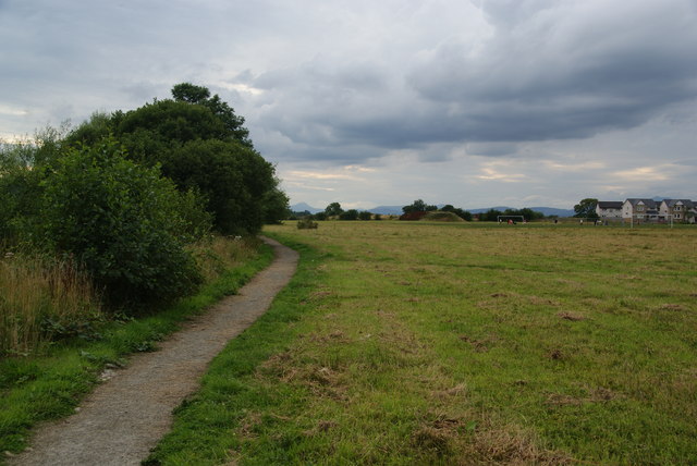
Image: © Bill Boaden Taken: 8 Aug 2013
Whilst the path follows the line of the river, you cannot see very much of it because of the undergrowth on the left. There are football pitches ahead on the right.
Images are licensed for reuse under creativecommons.org/licenses/by-sa/2.0
Image Location
Latitude
56.13367
Longitude
-3.943187