Village of Lucker
Introduction
The photograph on this page of Village of Lucker by DS Pugh as part of the Geograph project.
The Geograph project started in 2005 with the aim of publishing, organising and preserving representative images for every square kilometre of Great Britain, Ireland and the Isle of Man.

There are currently over 7.5m images from over 14,400 individuals and you can help contribute to the project by visiting https://www.geograph.org.uk
Village of Lucker
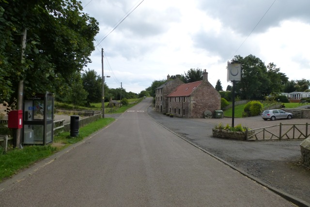
Image: © DS Pugh Taken: 14 Aug 2013
The Apple Inn, a phone box and a letter box.
Images are licensed for reuse under creativecommons.org/licenses/by-sa/2.0
Image Location
Latitude
55.564699
Longitude
-1.758015