Fields near Stroxton
Introduction
The photograph on this page of Fields near Stroxton by Alan Murray-Rust as part of the Geograph project.
The Geograph project started in 2005 with the aim of publishing, organising and preserving representative images for every square kilometre of Great Britain, Ireland and the Isle of Man.

There are currently over 7.5m images from over 14,400 individuals and you can help contribute to the project by visiting https://www.geograph.org.uk
Fields near Stroxton
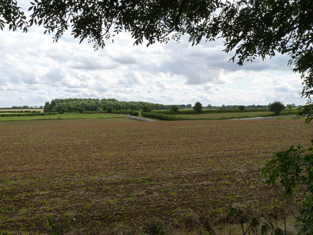
Image: © Alan Murray-Rust Taken: 11 Aug 2013
The dip in the land is not a natural feature but is the result of quarrying of iron ore. This was the site of the Harlaxton Quarries No.4 or Hungerton pit, by far the largest of the pits worked. It was opened in 1958 and closed in 1974. There was then a further small scale reopening of the pit between 1977 and 1978.
Images are licensed for reuse under creativecommons.org/licenses/by-sa/2.0
Image Location
Latitude
52.869622
Longitude
-0.675246