Roystonhill spire
Introduction
The photograph on this page of Roystonhill spire by Thomas Nugent as part of the Geograph project.
The Geograph project started in 2005 with the aim of publishing, organising and preserving representative images for every square kilometre of Great Britain, Ireland and the Isle of Man.

There are currently over 7.5m images from over 14,400 individuals and you can help contribute to the project by visiting https://www.geograph.org.uk
Roystonhill spire
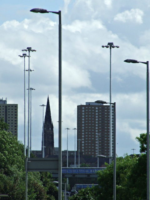
Image: © Thomas Nugent Taken: 4 Aug 2013
Viewed from Pinkston canal basin. See Image for more information about the spire.
Images are licensed for reuse under creativecommons.org/licenses/by-sa/2.0
Image Location
Latitude
55.867973
Longitude
-4.227336