Hanger Lane intersection and station, 1993
Introduction
The photograph on this page of Hanger Lane intersection and station, 1993 by Ben Brooksbank as part of the Geograph project.
The Geograph project started in 2005 with the aim of publishing, organising and preserving representative images for every square kilometre of Great Britain, Ireland and the Isle of Man.

There are currently over 7.5m images from over 14,400 individuals and you can help contribute to the project by visiting https://www.geograph.org.uk
Hanger Lane intersection and station, 1993
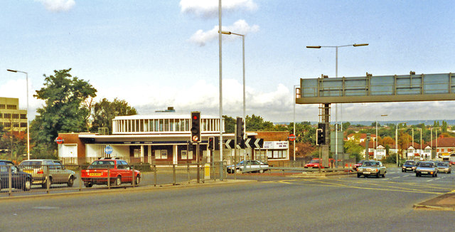
Image: © Ben Brooksbank Taken: 10 Oct 1993
Exactly the same view as in 1978 Image, except that the Gyratory System is operating, after a loop road was built in the 1980s round the back of the station - from this angle.
Images are licensed for reuse under creativecommons.org/licenses/by-sa/2.0
Image Location
Latitude
51.529428
Longitude
-0.292674