Hampstead Norreys: close to site of former station, 2001
Introduction
The photograph on this page of Hampstead Norreys: close to site of former station, 2001 by Ben Brooksbank as part of the Geograph project.
The Geograph project started in 2005 with the aim of publishing, organising and preserving representative images for every square kilometre of Great Britain, Ireland and the Isle of Man.

There are currently over 7.5m images from over 14,400 individuals and you can help contribute to the project by visiting https://www.geograph.org.uk
Hampstead Norreys: close to site of former station, 2001
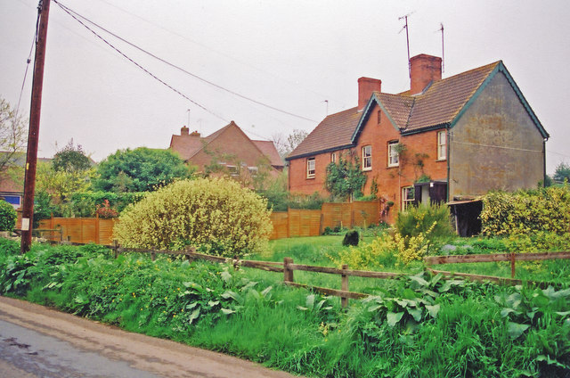
Image: © Ben Brooksbank Taken: 14 May 2001
View southward on Water Street, towards Newbury on the long-disused ex-GWR Didcot, Newbury & Southampton line, which all closed to passengers from 10/9/62 and finally on 10/8/64. There seemed to be no trace of the former station ('Hampstead Norris' as spelled), but this was close to where it had been.
Images are licensed for reuse under creativecommons.org/licenses/by-sa/2.0
Image Location
Latitude
51.48554
Longitude
-1.241702