Old Oak Common Lane, East Acton
Introduction
The photograph on this page of Old Oak Common Lane, East Acton by Stefan Czapski as part of the Geograph project.
The Geograph project started in 2005 with the aim of publishing, organising and preserving representative images for every square kilometre of Great Britain, Ireland and the Isle of Man.

There are currently over 7.5m images from over 14,400 individuals and you can help contribute to the project by visiting https://www.geograph.org.uk
Old Oak Common Lane, East Acton
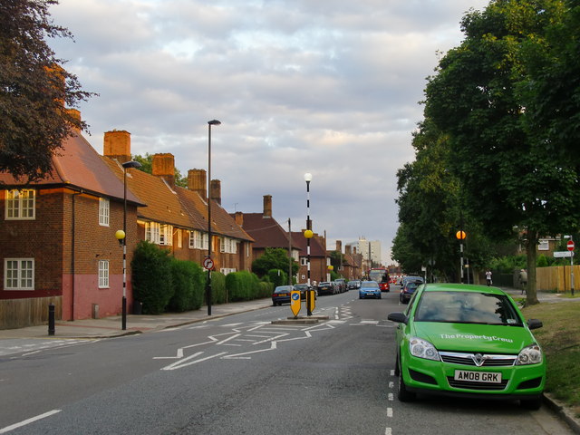
Image: © Stefan Czapski Taken: 10 Aug 2013
This grid-square lies just to the south of the railway complexes at Old Oak Common and Willesden Junction, and contributions for this grid-square seem largely concerned with railways - even though much of the area is residential. The red-brick houses along Old Oak Common Lane and Fitzneal Street (nearby) must surely have been built as part of the local authority 'Homes fit for Heroes' campaign of the 1920's and '30's. So not only was this area open countryside when the railways first arrived, but it remained so for a good many years after the building of Wormwood Scrubs prison and Hammersmith Hospital (in the next grid-square east). Shot taken looking south from near the corner of Fitzneal Street - on a Saturday evening.
Images are licensed for reuse under creativecommons.org/licenses/by-sa/2.0
Image Location
Latitude
51.517022
Longitude
-0.250187