Fields and pylon near Inverquharity
Introduction
The photograph on this page of Fields and pylon near Inverquharity by Oliver Dixon as part of the Geograph project.
The Geograph project started in 2005 with the aim of publishing, organising and preserving representative images for every square kilometre of Great Britain, Ireland and the Isle of Man.

There are currently over 7.5m images from over 14,400 individuals and you can help contribute to the project by visiting https://www.geograph.org.uk
Fields and pylon near Inverquharity
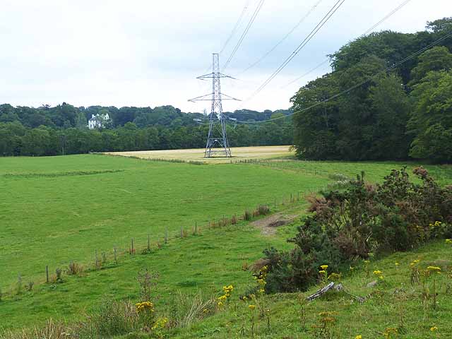
Image: © Oliver Dixon Taken: 9 Aug 2013
Seen from the B955 road from Kirriemuir to Glen Clova. Downiepark House can be seen in the distance on the far side of the River South Esk.
Images are licensed for reuse under creativecommons.org/licenses/by-sa/2.0
Image Location
Latitude
56.712653
Longitude
-2.976033