Looking down Whitehouse Lane, Bearpark
Introduction
The photograph on this page of Looking down Whitehouse Lane, Bearpark by Robert Graham as part of the Geograph project.
The Geograph project started in 2005 with the aim of publishing, organising and preserving representative images for every square kilometre of Great Britain, Ireland and the Isle of Man.

There are currently over 7.5m images from over 14,400 individuals and you can help contribute to the project by visiting https://www.geograph.org.uk
Looking down Whitehouse Lane, Bearpark
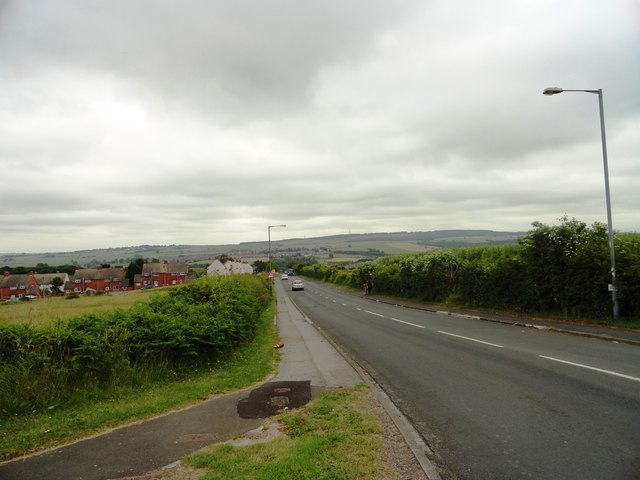
Image: © Robert Graham Taken: 10 Jul 2013
This lane at the west end of the village leads down to Ushaw Moor. As Bearpark is on the top of the ridge above the Deerness valley, there are good views from here.
Images are licensed for reuse under creativecommons.org/licenses/by-sa/2.0
Image Location
Latitude
54.782193
Longitude
-1.64376