Brasses Farm
Introduction
The photograph on this page of Brasses Farm by David Anstiss as part of the Geograph project.
The Geograph project started in 2005 with the aim of publishing, organising and preserving representative images for every square kilometre of Great Britain, Ireland and the Isle of Man.

There are currently over 7.5m images from over 14,400 individuals and you can help contribute to the project by visiting https://www.geograph.org.uk
Brasses Farm
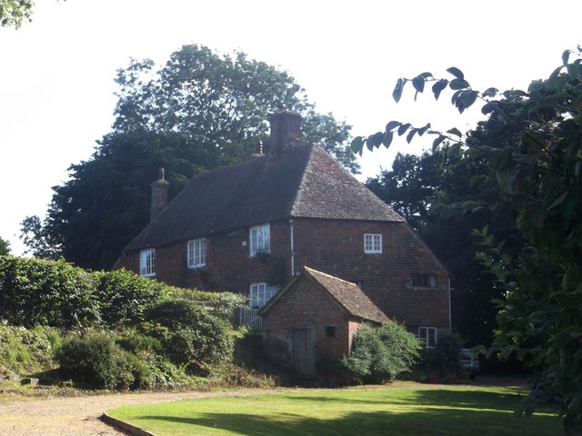
Image: © David Anstiss Taken: 3 Aug 2013
This Grade II listed farmhouse is beside a road leading to Snagshall and Ewhurst Green. See http://www.britishlistedbuildings.co.uk/en-409155-brasses-farmhouse-ewhurst-east-sussex for more details about the listed farmhouse.
Images are licensed for reuse under creativecommons.org/licenses/by-sa/2.0
Image Location


Leaflet Map data © OpenStreetMap
Latitude
50.984234
Longitude
0.536997