The village centre of Ushaw Moor
Introduction
The photograph on this page of The village centre of Ushaw Moor by Robert Graham as part of the Geograph project.
The Geograph project started in 2005 with the aim of publishing, organising and preserving representative images for every square kilometre of Great Britain, Ireland and the Isle of Man.

There are currently over 7.5m images from over 14,400 individuals and you can help contribute to the project by visiting https://www.geograph.org.uk
The village centre of Ushaw Moor
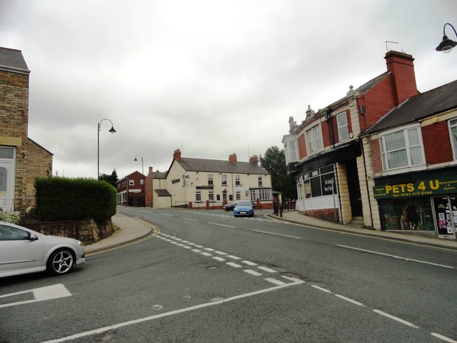
Image: © Robert Graham Taken: 10 Jul 2013
This is the junction of Cockhouse Lane with Durham Road in the centre of the village. Whitehouse Lane leads north up the middle of the picture. Ushaw Moor was founded in the mid 19th century as a colliery village. The pit closed in 1960. The village has survived better than most in the area, and still has a pub and plenty of shops.
Images are licensed for reuse under creativecommons.org/licenses/by-sa/2.0
Image Location
Latitude
54.777884
Longitude
-1.645508