View down the A1 from Gamston Airfield towards West Drawton: aerial 2013
Introduction
The photograph on this page of View down the A1 from Gamston Airfield towards West Drawton: aerial 2013 by Chris as part of the Geograph project.
The Geograph project started in 2005 with the aim of publishing, organising and preserving representative images for every square kilometre of Great Britain, Ireland and the Isle of Man.

There are currently over 7.5m images from over 14,400 individuals and you can help contribute to the project by visiting https://www.geograph.org.uk
View down the A1 from Gamston Airfield towards West Drawton: aerial 2013
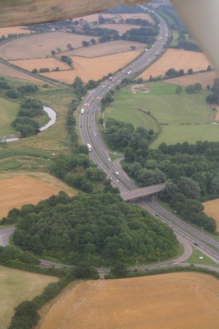
Image: © Chris Taken: 8 Aug 2013
Just airborne from Runway 21 at Gamston Airfield, and looking SE down the A1. The West Drayton turnoff is just beyond the river.
Images are licensed for reuse under creativecommons.org/licenses/by-sa/2.0
Image Location


Leaflet Map data © OpenStreetMap
Latitude
53.263354
Longitude
-0.943473