The end of The Butts
Introduction
The photograph on this page of The end of The Butts by Stuart Logan as part of the Geograph project.
The Geograph project started in 2005 with the aim of publishing, organising and preserving representative images for every square kilometre of Great Britain, Ireland and the Isle of Man.

There are currently over 7.5m images from over 14,400 individuals and you can help contribute to the project by visiting https://www.geograph.org.uk
The end of The Butts
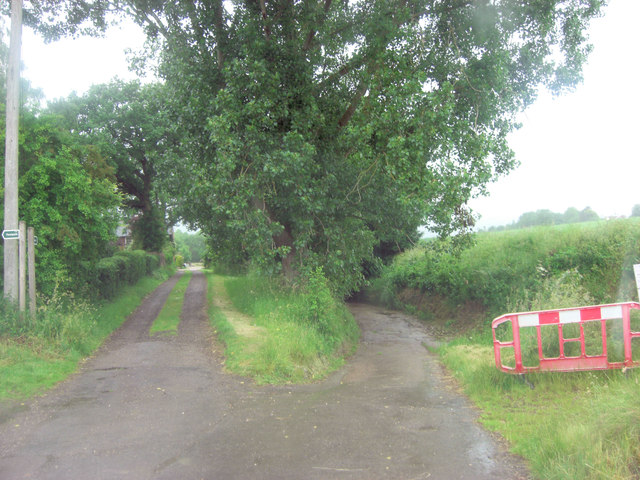
Image: © Stuart Logan Taken: 27 Jun 2013
Beyond this point the lane follows the bed of the young River Deben, which rises a little way to the west. Today the track, called Stoney Lane, is officially closed for repairs by Suffolk Highways Dept. Not surprising after one of the wettest winters in modern times! The Deben eventually flows into the sea near Woodbridge.
Images are licensed for reuse under creativecommons.org/licenses/by-sa/2.0
Image Location
Latitude
52.227253
Longitude
1.173745