Castle Hill by Strachan
Introduction
The photograph on this page of Castle Hill by Strachan by Stanley Howe as part of the Geograph project.
The Geograph project started in 2005 with the aim of publishing, organising and preserving representative images for every square kilometre of Great Britain, Ireland and the Isle of Man.

There are currently over 7.5m images from over 14,400 individuals and you can help contribute to the project by visiting https://www.geograph.org.uk
Castle Hill by Strachan
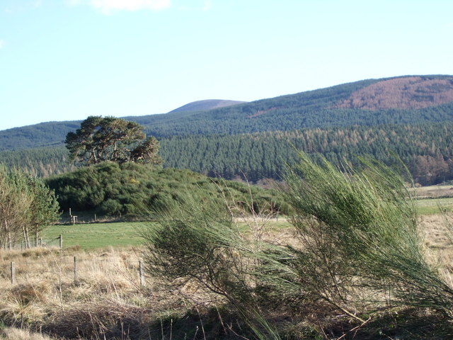
Image: © Stanley Howe Taken: 9 Mar 2007
The mound (Motte) in the left foreground was until recently a grassy knoll akin to the Peel of Lumphanan, but has been allowed to become overgrown by scrub disguising its historic origins as a castle. The hilltop in the far distance is Kerlock (NO6987; 535m).
Images are licensed for reuse under creativecommons.org/licenses/by-sa/2.0
Image Location
Latitude
57.018746
Longitude
-2.566035