Wheatfields and where the railway was
Introduction
The photograph on this page of Wheatfields and where the railway was by John Sutton as part of the Geograph project.
The Geograph project started in 2005 with the aim of publishing, organising and preserving representative images for every square kilometre of Great Britain, Ireland and the Isle of Man.

There are currently over 7.5m images from over 14,400 individuals and you can help contribute to the project by visiting https://www.geograph.org.uk
Wheatfields and where the railway was
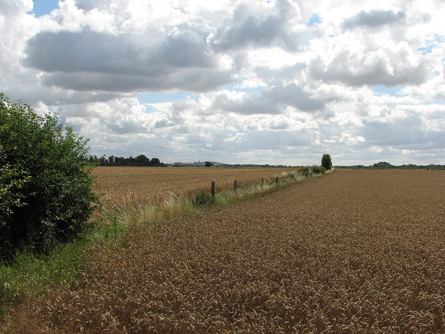
Image: © John Sutton Taken: 12 Aug 2013
The fence posts at the field boundary mark the course of the Cambridge-Colchester Stour Valley railway, which closed in 1967.
Images are licensed for reuse under creativecommons.org/licenses/by-sa/2.0
Image Location
Latitude
52.129698
Longitude
0.183247