Level Crossing at Sunningdale
Introduction
The photograph on this page of Level Crossing at Sunningdale by mike smith as part of the Geograph project.
The Geograph project started in 2005 with the aim of publishing, organising and preserving representative images for every square kilometre of Great Britain, Ireland and the Isle of Man.

There are currently over 7.5m images from over 14,400 individuals and you can help contribute to the project by visiting https://www.geograph.org.uk
Level Crossing at Sunningdale
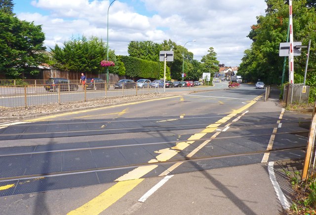
Image: © mike smith Taken: 4 Aug 2013
This crossing is on the A30 road. It would have caused much traffic congestion in times gone by, but as most traffic to/from the West Country now uses the M3 motorway, it is less of a problem.
Images are licensed for reuse under creativecommons.org/licenses/by-sa/2.0
Image Location
Latitude
51.391624
Longitude
-0.632274