Path through Barley Field, near Dovehouse Farm
Introduction
The photograph on this page of Path through Barley Field, near Dovehouse Farm by Roger Jones as part of the Geograph project.
The Geograph project started in 2005 with the aim of publishing, organising and preserving representative images for every square kilometre of Great Britain, Ireland and the Isle of Man.

There are currently over 7.5m images from over 14,400 individuals and you can help contribute to the project by visiting https://www.geograph.org.uk
Path through Barley Field, near Dovehouse Farm
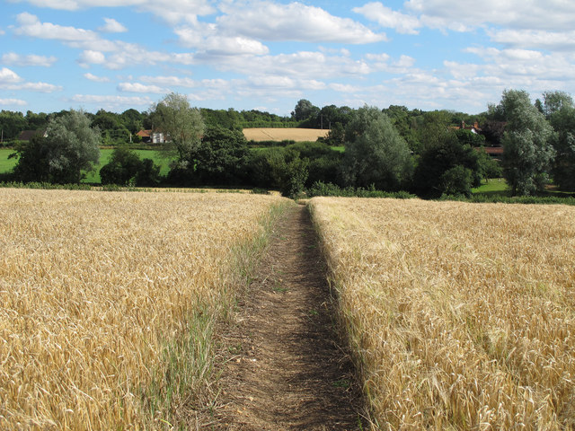
Image: © Roger Jones Taken: 11 Aug 2013
Dovehouse Farm is near Monk Street in the parish of Thaxted.
Images are licensed for reuse under creativecommons.org/licenses/by-sa/2.0
Image Location
Latitude
51.937141
Longitude
0.343957