Bogland, near Glasfryn
Introduction
The photograph on this page of Bogland, near Glasfryn by Nigel Callaghan as part of the Geograph project.
The Geograph project started in 2005 with the aim of publishing, organising and preserving representative images for every square kilometre of Great Britain, Ireland and the Isle of Man.

There are currently over 7.5m images from over 14,400 individuals and you can help contribute to the project by visiting https://www.geograph.org.uk
Bogland, near Glasfryn
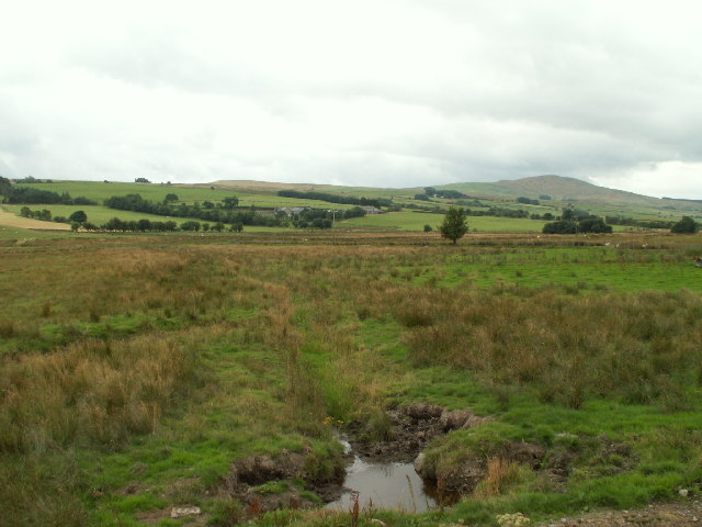
Image: © Nigel Callaghan Taken: 6 Aug 2005
A large area of boggy land S of the A5 near Glasfryn. The OS map shows a pattern of streams and springs in the area.
Images are licensed for reuse under creativecommons.org/licenses/by-sa/2.0
Image Location


Leaflet Map data © OpenStreetMap
Latitude
53.04093
Longitude
-3.604817