Fowlmere village centre
Introduction
The photograph on this page of Fowlmere village centre by David Beresford as part of the Geograph project.
The Geograph project started in 2005 with the aim of publishing, organising and preserving representative images for every square kilometre of Great Britain, Ireland and the Isle of Man.

There are currently over 7.5m images from over 14,400 individuals and you can help contribute to the project by visiting https://www.geograph.org.uk
Fowlmere village centre
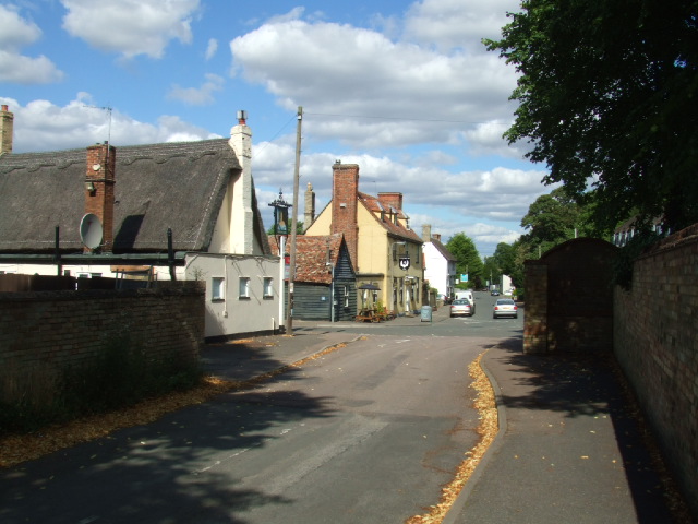
Image: © David Beresford Taken: 11 Aug 2013
Of the three public houses in this photograph two are closed. In the foreground is the Queen's Head (closed), in the centre the Swan (recently reopened) and the white building on the left is the Chequers (recently closed).
Images are licensed for reuse under creativecommons.org/licenses/by-sa/2.0
Image Location
Latitude
52.093187
Longitude
0.07387