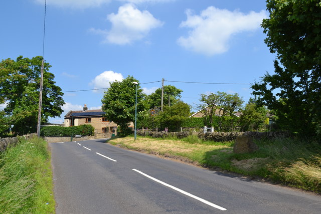
Tour de France in Oughtibridge ... 12 Months To Go! ... Oughtibridge Lane from Skew Hill Lane, near Grenoside
Introduction
The photograph on this page of Tour de France in Oughtibridge ... 12 Months To Go! ... Oughtibridge Lane from Skew Hill Lane, near Grenoside by Terry Robinson as part of the Geograph project.
The Geograph project started in 2005 with the aim of publishing, organising and preserving representative images for every square kilometre of Great Britain, Ireland and the Isle of Man.
There are currently over 7.5m images from over 14,400 individuals and you can help contribute to the project by visiting https://www.geograph.org.uk

Image: © Terry Robinson Taken: 6 Jul 2013
On the 6th July 2014, Stage 2 of the Tour de France will be passing through Oughtibridge. Once clear of the village centre, the riders will pass Coronation Park, and ride up Station Lane and Jawbone Hill towards Grenoside and eventually to the finish in Sheffield. After reaching the top of Jawbone Hill - which is also known as, and shown on OS maps as Whalejaw Hill - the cyclists will travel along Oughtibridge Lane and turn right into Skew Hill Lane. I'm sure, in 12 months time, this view will be massively different! For more views of this area ... see ... Image Image Image Image Image For more views of the planned route ... follow this link ... Image

