Dunford Road, Lower Holloway
Introduction
The photograph on this page of Dunford Road, Lower Holloway by Stephen McKay as part of the Geograph project.
The Geograph project started in 2005 with the aim of publishing, organising and preserving representative images for every square kilometre of Great Britain, Ireland and the Isle of Man.

There are currently over 7.5m images from over 14,400 individuals and you can help contribute to the project by visiting https://www.geograph.org.uk
Dunford Road, Lower Holloway
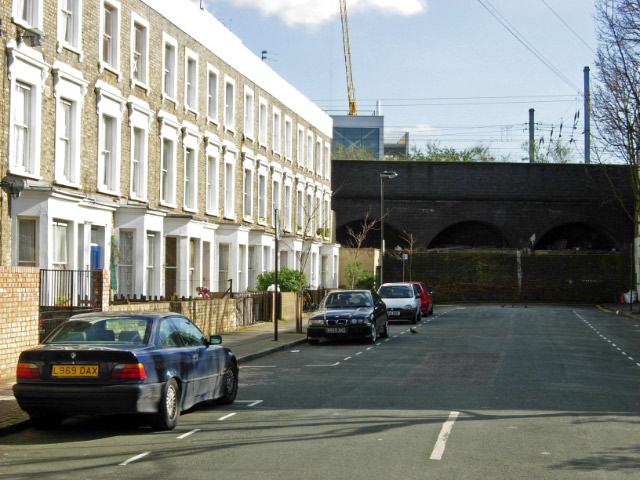
Image: © Stephen McKay Taken: 8 Mar 2007
This road ends abruptly at the arches carrying the East Coast Main Line, suggesting that the building of the railway truncated it.
Images are licensed for reuse under creativecommons.org/licenses/by-sa/2.0
Image Location
Latitude
51.554723
Longitude
-0.112424