Climbing out of the tunnel . . .
Introduction
The photograph on this page of Climbing out of the tunnel . . . by Alan Murray-Rust as part of the Geograph project.
The Geograph project started in 2005 with the aim of publishing, organising and preserving representative images for every square kilometre of Great Britain, Ireland and the Isle of Man.

There are currently over 7.5m images from over 14,400 individuals and you can help contribute to the project by visiting https://www.geograph.org.uk
Climbing out of the tunnel . . .
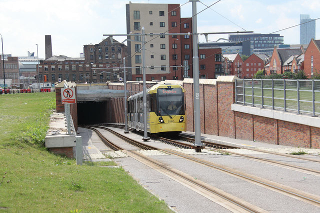
Image: © Alan Murray-Rust Taken: 7 Aug 2013
. . . under Great Ancoats Street. One of the steepest parts of the Metrolink system.
Images are licensed for reuse under creativecommons.org/licenses/by-sa/2.0
Image Location
Latitude
53.480227
Longitude
-2.221312