Prince's Coverts
Introduction
The photograph on this page of Prince's Coverts by Hugh Craddock as part of the Geograph project.
The Geograph project started in 2005 with the aim of publishing, organising and preserving representative images for every square kilometre of Great Britain, Ireland and the Isle of Man.

There are currently over 7.5m images from over 14,400 individuals and you can help contribute to the project by visiting https://www.geograph.org.uk
Prince's Coverts
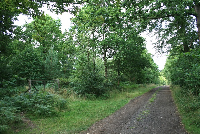
Image: © Hugh Craddock Taken: 10 Aug 2013
West ride on Prince's Coverts, opposite the junction with the path from Prince's Drive, and at the corner of a new inclosure.
Images are licensed for reuse under creativecommons.org/licenses/by-sa/2.0
Image Location
Latitude
51.336994
Longitude
-0.343046