Heath Road
Introduction
The photograph on this page of Heath Road by Hugh Craddock as part of the Geograph project.
The Geograph project started in 2005 with the aim of publishing, organising and preserving representative images for every square kilometre of Great Britain, Ireland and the Isle of Man.

There are currently over 7.5m images from over 14,400 individuals and you can help contribute to the project by visiting https://www.geograph.org.uk
Heath Road
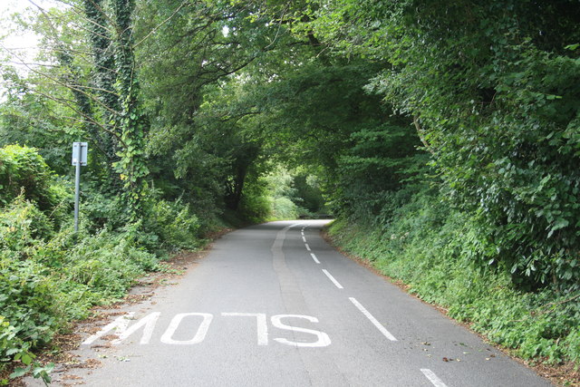
Image: © Hugh Craddock Taken: 10 Aug 2013
Heath Road, looking uphill towards the junction with Queen's Drive. The road is one-way, with a cycle track (also one-way) marked down the near side.
Images are licensed for reuse under creativecommons.org/licenses/by-sa/2.0
Image Location
Latitude
51.339815
Longitude
-0.358163