Bridge Inn, Clayton Lane
Introduction
The photograph on this page of Bridge Inn, Clayton Lane by Alan Murray-Rust as part of the Geograph project.
The Geograph project started in 2005 with the aim of publishing, organising and preserving representative images for every square kilometre of Great Britain, Ireland and the Isle of Man.

There are currently over 7.5m images from over 14,400 individuals and you can help contribute to the project by visiting https://www.geograph.org.uk
Bridge Inn, Clayton Lane
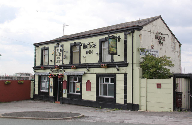
Image: © Alan Murray-Rust Taken: 7 Aug 2013
Although adjacent to the canal, probably not specifically a canalside pub. It's not marked as a pub on old OS maps until around 1950, but is clearly older than that.
Images are licensed for reuse under creativecommons.org/licenses/by-sa/2.0
Image Location
Latitude
53.48101
Longitude
-2.183946