Jacobean Close, Maidenbower, Crawley
Introduction
The photograph on this page of Jacobean Close, Maidenbower, Crawley by Robin Webster as part of the Geograph project.
The Geograph project started in 2005 with the aim of publishing, organising and preserving representative images for every square kilometre of Great Britain, Ireland and the Isle of Man.

There are currently over 7.5m images from over 14,400 individuals and you can help contribute to the project by visiting https://www.geograph.org.uk
Jacobean Close, Maidenbower, Crawley
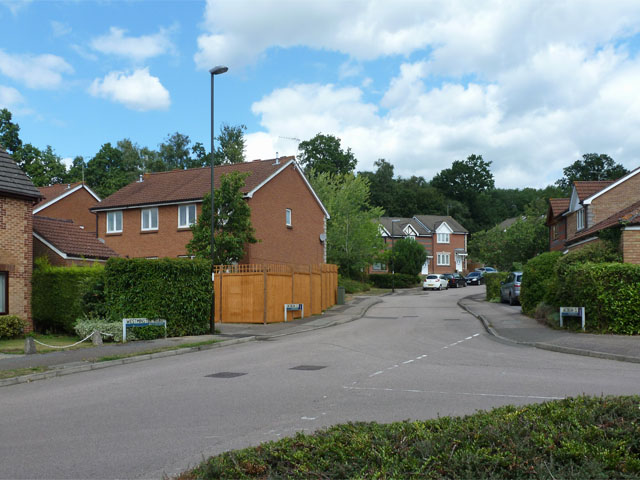
Image: © Robin Webster Taken: 10 Aug 2013
The far trees are along the old railway line used by the Worth Way, but there is no way through here.
Images are licensed for reuse under creativecommons.org/licenses/by-sa/2.0
Image Location
Latitude
51.111222
Longitude
-0.153267