Path at the Top
Introduction
The photograph on this page of Path at the Top by Michael Patterson as part of the Geograph project.
The Geograph project started in 2005 with the aim of publishing, organising and preserving representative images for every square kilometre of Great Britain, Ireland and the Isle of Man.

There are currently over 7.5m images from over 14,400 individuals and you can help contribute to the project by visiting https://www.geograph.org.uk
Path at the Top
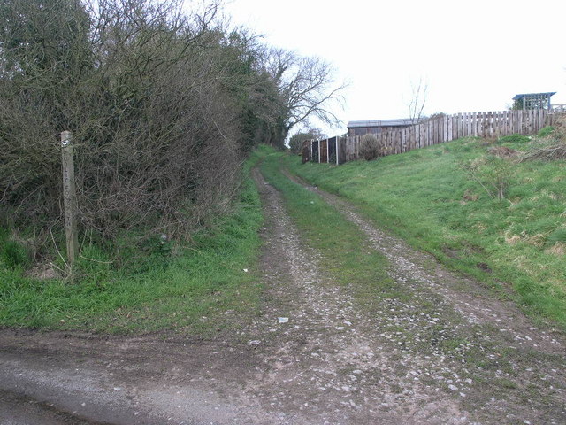
Image: © Michael Patterson Taken: 8 Mar 2007
This footpath' at the very northern edge of this square' leaves the tiny settlement of Sugdon and leads over the fields to High Ercall.
Images are licensed for reuse under creativecommons.org/licenses/by-sa/2.0
Image Location


Leaflet Map data © OpenStreetMap
Latitude
52.730818
Longitude
-2.588152