Water Street, Lavenham
Introduction
The photograph on this page of Water Street, Lavenham by David Dixon as part of the Geograph project.
The Geograph project started in 2005 with the aim of publishing, organising and preserving representative images for every square kilometre of Great Britain, Ireland and the Isle of Man.

There are currently over 7.5m images from over 14,400 individuals and you can help contribute to the project by visiting https://www.geograph.org.uk
Water Street, Lavenham
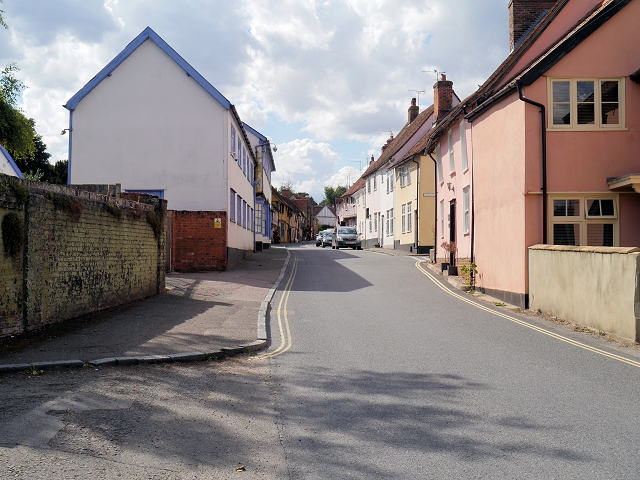
Image: © David Dixon Taken: 3 Aug 2013
Water Street’s name derives from the open sewers which once ran along it. Water was essential for washing fleece and rinsing cloth. Around 1500, the cloth merchants diverted the water underground, demolishing most of the buildings and building a series of brick-built culverts, which still exist. The houses running along the south of Water Street were rebuilt directly over them, a continuous row of fine jettied buildings that reflected Lavenham’s wealth at that time. Most of the buildings on Water Street are Grade II-listed (http://www.britishlistedbuildings.co.uk/england/suffolk/lavenham British Listed Buildings) http://mediafiles.thedms.co.uk/Publication/EE-STP/cms/pdf/Lavenham-final-walk.pdf Suffolk Threads, Lavenham Heritage Walk (pdf document)
Images are licensed for reuse under creativecommons.org/licenses/by-sa/2.0
Image Location


Leaflet Map data © OpenStreetMap
Latitude
52.106871
Longitude
0.799455