The old A595 near Mealgate
Introduction
The photograph on this page of The old A595 near Mealgate by David Purchase as part of the Geograph project.
The Geograph project started in 2005 with the aim of publishing, organising and preserving representative images for every square kilometre of Great Britain, Ireland and the Isle of Man.

There are currently over 7.5m images from over 14,400 individuals and you can help contribute to the project by visiting https://www.geograph.org.uk
The old A595 near Mealgate
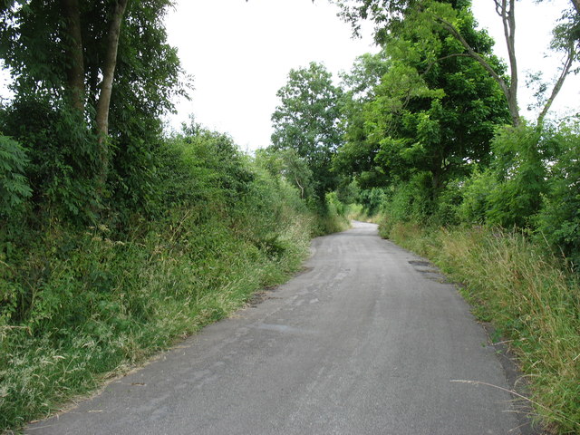
Image: © David Purchase Taken: 27 Jul 2013
The main road has been realigned to the south-east (left).
Images are licensed for reuse under creativecommons.org/licenses/by-sa/2.0
Image Location
Latitude
54.765472
Longitude
-3.234011