Site of Hadham station
Introduction
The photograph on this page of Site of Hadham station by Ben Brooksbank as part of the Geograph project.
The Geograph project started in 2005 with the aim of publishing, organising and preserving representative images for every square kilometre of Great Britain, Ireland and the Isle of Man.

There are currently over 7.5m images from over 14,400 individuals and you can help contribute to the project by visiting https://www.geograph.org.uk
Site of Hadham station
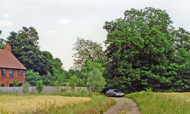
Image: © Ben Brooksbank Taken: 22 Jun 1995
View NW on Station Road: ex-GER St Margarets (to right) - (to left) Buntingford branch. There is no trace of the station, which was closed with the line from 16/11/64, although goods traffic continued until 20/9/65. The station was demolished by British Railways after massive vandalism took place after closure. Further information on the station and the branch line can be found at http://www.disused-stations.org.uk/h/hadham/index.shtml.
Images are licensed for reuse under creativecommons.org/licenses/by-sa/2.0
Image Location
Latitude
51.844298
Longitude
0.062846