Down School Street, Pontygwaith
Introduction
The photograph on this page of Down School Street, Pontygwaith by Jaggery as part of the Geograph project.
The Geograph project started in 2005 with the aim of publishing, organising and preserving representative images for every square kilometre of Great Britain, Ireland and the Isle of Man.

There are currently over 7.5m images from over 14,400 individuals and you can help contribute to the project by visiting https://www.geograph.org.uk
Down School Street, Pontygwaith
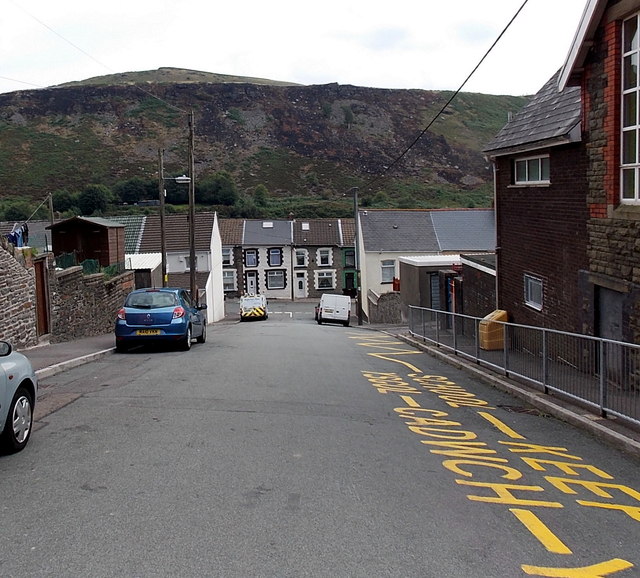
Image: © Jaggery Taken: 8 Aug 2013
School Street descends past Pontygwaith Primary School http://www.geograph.org.uk/photo/3591180 on the right towards Madeline Street. The bleak hillside was formerly part of an area of quarries and tips.
Images are licensed for reuse under creativecommons.org/licenses/by-sa/2.0
Image Location
Latitude
51.638118
Longitude
-3.433125